Research
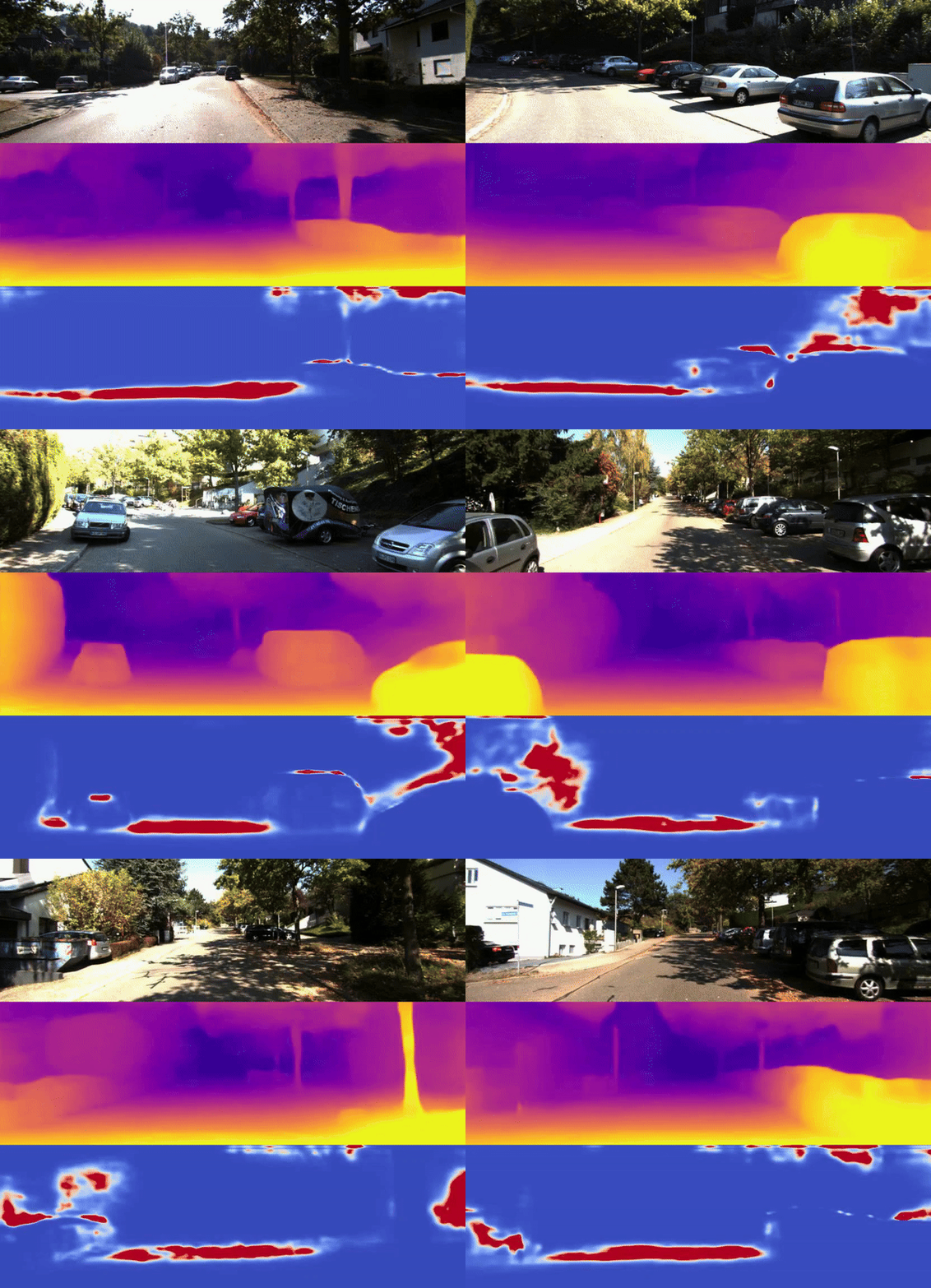
Visual Perception with CAVs’ On-board Sensors
Perceiving the surroundings of vehicles is important for autonomous driving and advanced transport applications. This direction investigates various visual tasks, including depth estimation, 3D reconstruction, semantic segmentation, object detection, etc.
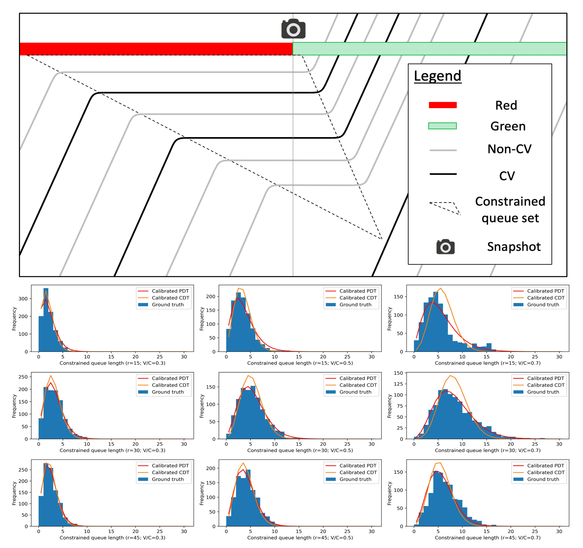
Nonvisual Perception with CAV Trajectory Data
Nonvisual perception mainly uses trajectory data to develop beneficial transport applications. This direction aims to estimate critical traffic states, such as queue length, the total number of vehicles in a lane, the number of residual vehicles, etc., paving the way for traffic management and control.
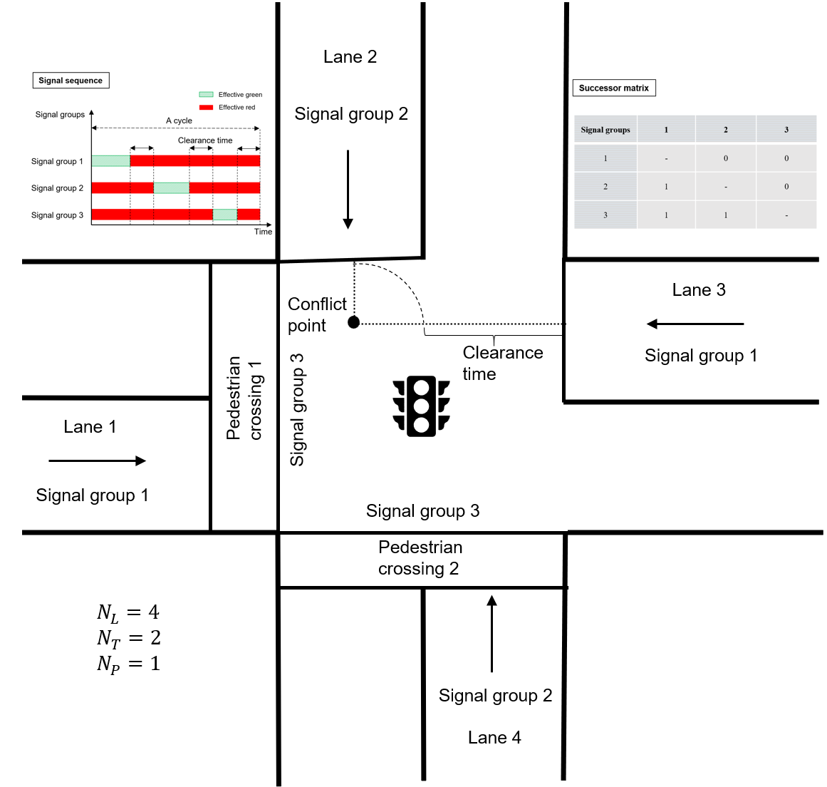
CAV-based Traffic Management and Control
Accurate perception is for better control. Based on estimated traffic states, effective traffic management and control models are developed to improve the system’s efficiency, robustness, sustainability, and resilience. In particular, uncertainty in the system is considered and modeled.
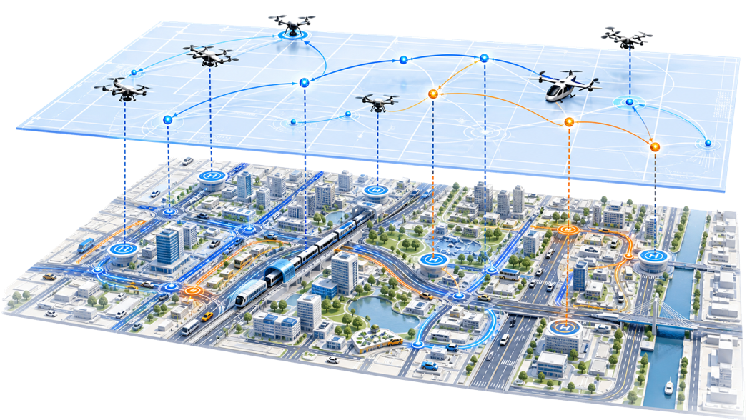
Low-altitude Infrastructure Planning and Optimization
Low-altitude infrastructures, including drone stations and configurations, are fundamental for developing downstream applications. This direction focuses on optimizing the locations and configurations of those essential infrastructures under different conditions, e.g., logistics and traffic monitoring.
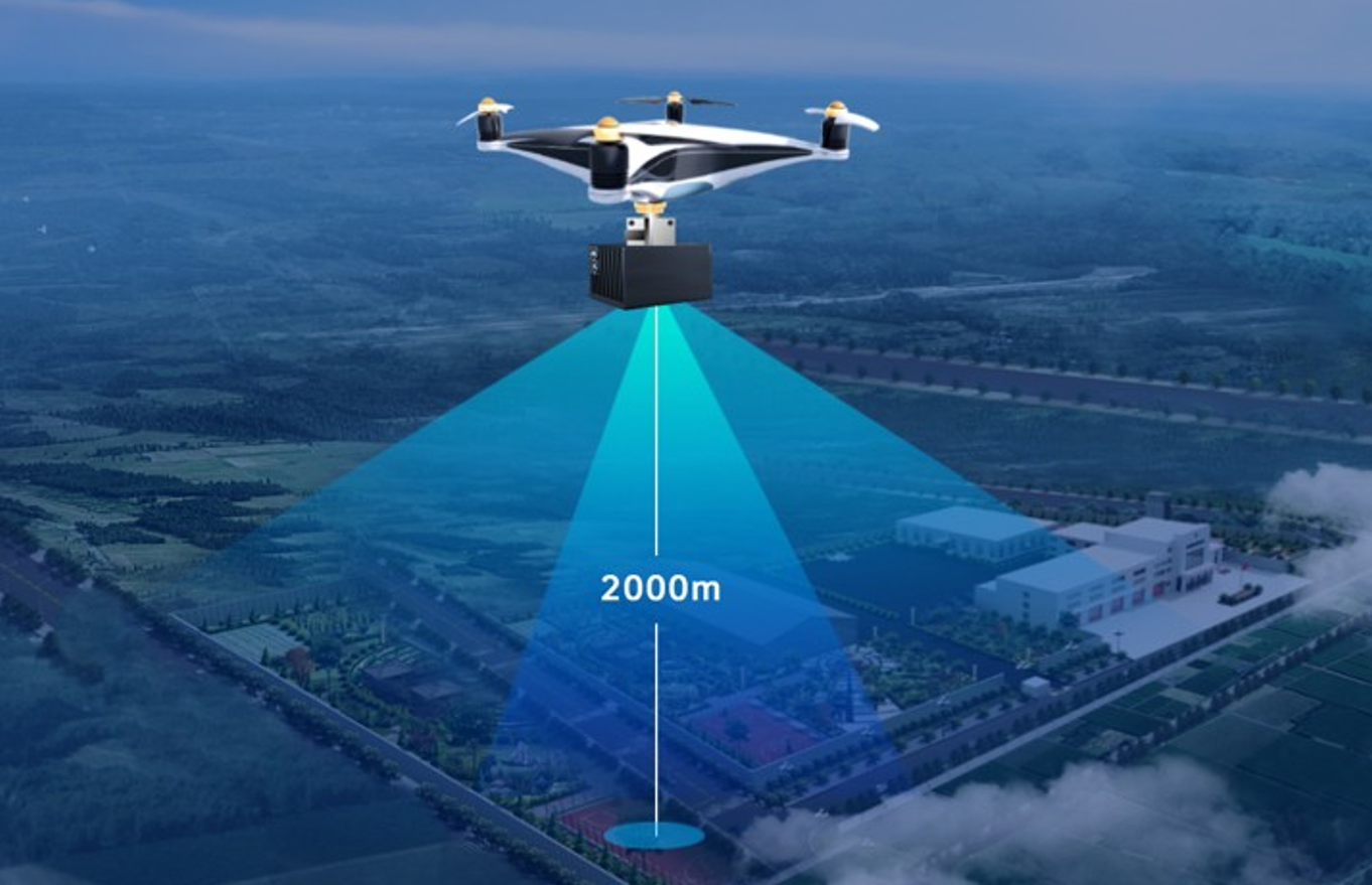
Air-Ground Cooperative Perception
The perception capability of drones provides a new possibility for traffic state estimation. This direction investigates the incorporation of drones into a partial CAV environment for more accurate, comprehensive traffic state estimation.
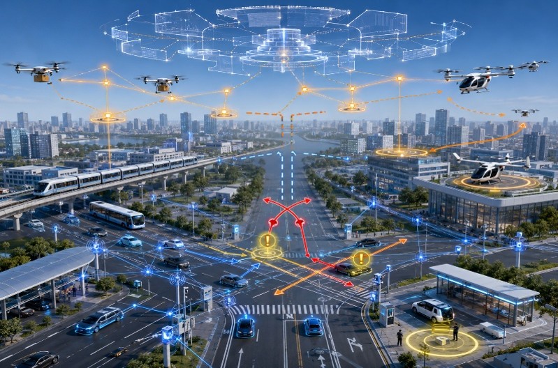
Air-Ground Cooperative Management and Control
The availability of traffic states paves the way for traffic management and control. This direction considers a multimodal transportation system comprising both drones/eVTOLs and ground CAVs and aims to develop unified, robust, and effective control systems for drones, CAVs, and infrastructures.